


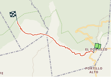

4.9 km | 5.8 km-effort

Tous les sentiers balisés d’Europe PRO


FREE GPS app for hiking
 SityTrail
IGN / Geographical institutes
SityTrail World
The world is yours!
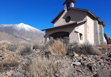
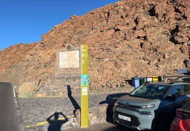
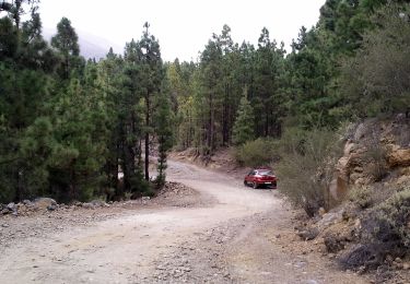
Trail On foot of 5.6 km to be discovered at Canary Islands, Santa Cruz de Tenerife, Los Realejos. This trail is proposed by SityTrail - itinéraires balisés pédestres.
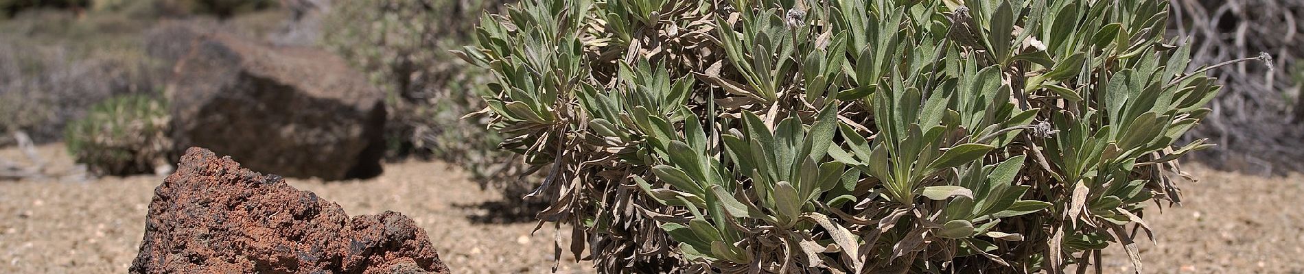
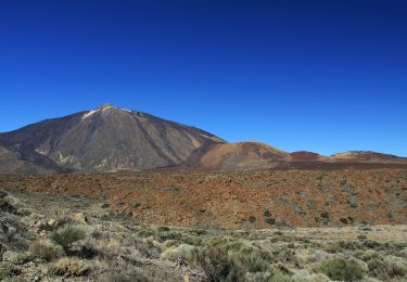
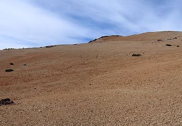
Trail created by Parque Nacional del Teide.
Website: http://www.vierayclavijo.org/html/paginas/cursos/cursos_2006/0609_vilaflor/vf_04.html


On foot

On foot
On foot

On foot
On foot
On foot
Walking
On foot

On foot